Why Fields Rarely Form Perfect Rectangles
Why fields rarely form perfect rectangles: use seven observable clues to read field shapes, distinguish likely causes and record what remains uncertain.
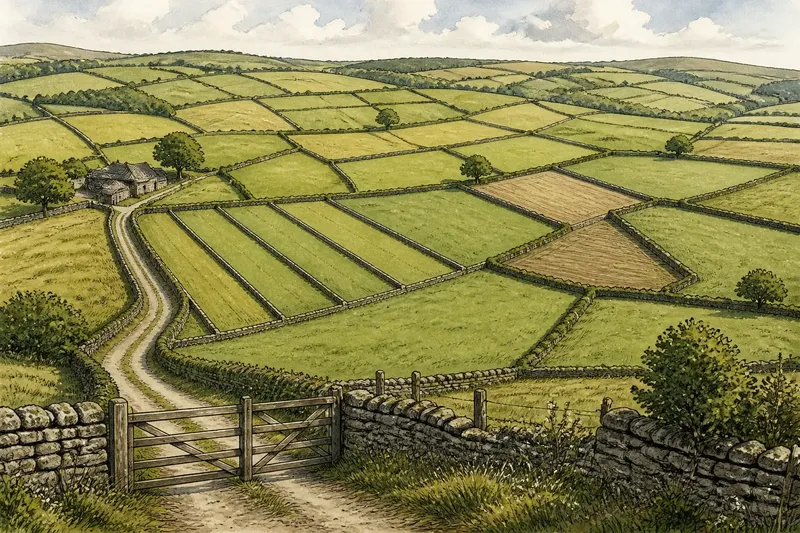
Why fields rarely form perfect rectangles becomes easier to understand when you look at where their edges meet. A bend beside a gate, a narrow strip along a lane, or a boundary that stops short can reveal how access and repeated divisions shaped the patchwork.
Seven field clues
Use these clues as prompts, not proofs. For each one, note what you can actually see and choose a cautious interpretation—or leave the cause open if the evidence does not settle it.
- Unequal widths: If several neighboring parcels are narrow and parallel, consider repeated division; if only one is narrow, look for a nearby lane, building, or other constraint before drawing a conclusion.
- Short boundary stubs: If a line ends abruptly at another boundary, consider whether it marks a partial division; if the endpoint is unclear on the ground, check another map view before interpreting it.
- Repeated angles: If several edges meet at similar angles, consider whether they belong to one planned arrangement; if the angles vary, treat each join separately rather than assuming a single design.
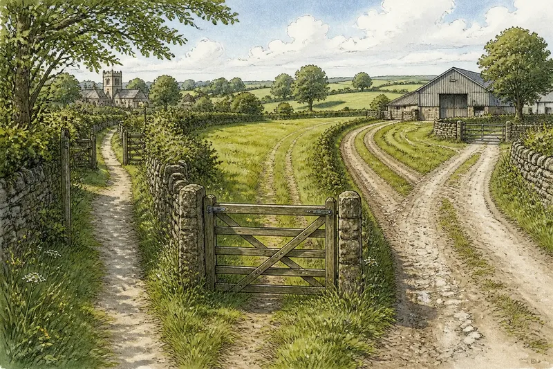
- A narrow access neck: If a parcel tapers toward a lane or track, consider whether access shaped its outline; if no route is visible, keep access as a possibility rather than a finding.
- Small enclosed corners: If a small corner sits inside or beside a larger field, consider whether land was divided in stages; if the corner has no clear connection to other boundaries, avoid assigning it a history from shape alone.
- Edges that stop together: If several boundaries end at the same line, consider whether that line organized later divisions; if their meeting points differ, compare the full arrangement before choosing an explanation.
- Different outline styles: If a straight section joins a curved or angled one, consider whether separate decisions shaped the two parts; if the map shows no clear join, check a second source and record the uncertainty.
Parcel joins
The places where boundaries meet can be more informative than a field’s overall outline. A lane may explain why several parcels open toward one side, while a line that stops at an established edge can suggest that a division was added without reshaping its neighbor.
Imagine you notice, on an invented map, a long narrow parcel beside a lane, with two short boundaries ending at its edge. You mark the lane-facing side as a possible access route, then compare the short lines with a second map view. If both views show the same arrangement, you can record that the parcel appears to have been divided in stages; if the second view differs, keep the division theory tentative and note that the map representations may not align.
What do field shapes reveal?
Why are some fields long and narrow?
Several parallel, narrow parcels may point to repeated division or a shared layout. A single narrow parcel can have other explanations, so check how it connects to nearby routes and boundaries before settling on one.
Can a field outline date a boundary?
No, shape alone cannot establish when a boundary was made. Comparing maps from different periods can show whether an outline changed, but it does not by itself explain who changed it or why.
How can I compare field patterns safely?
Start with an online map or aerial image, then compare the same area in another map source if available. Observe from public roads or rights of way, and do not enter private land to inspect a boundary.
What if the clues point in different directions?
Record the visible features separately from your interpretation. If one clue suggests access and another suggests later division, keep both possibilities rather than forcing a single explanation.
Record what you see
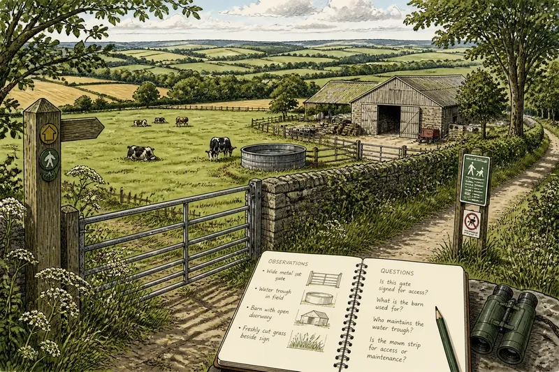
A useful note separates observation from interpretation: “two short lines stop at the lane-side edge” is an observation; “the parcel was divided later” is a possible explanation. This distinction keeps a quick countryside walk from turning a plausible reading into a claim of fact.
For why fields rarely form perfect rectangles, the most useful habit is to compare the joins and the arrangement of neighboring parcels, then keep uncertainty visible. A small sketch with arrows to the edges you noticed can help you return to the same pattern without mistaking a guess for something the landscape has proved.